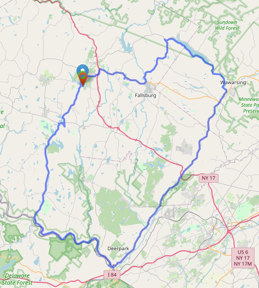
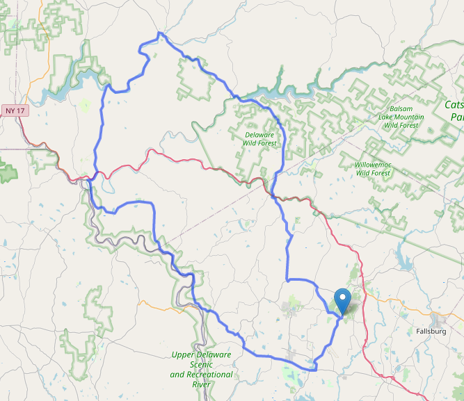
On Thursday, continued with the drive, taking another wide loop through Sullivan, Orange, and Ulster counties, completing a circuit of the Delaware Aqueduct reservoirs.
We took off through the village of Liberty, routing on Route 52 and Route 42 via Loch Sheldrake to Grahamsville, NY.
Loch Sheldrake was the site of Brown’s Hotel, which I stayed at as a kid. The resort hotels of the Catskills are a topic I could cover in a lot more detail, as it is a unique but also sad story. The Brown’s closed in the late 80s. It was converted into condos in the late 90s, and burned down in 2012.
The southern segment of Route 42 terminates at Route 55 near the Rondout Reservois, however, it used to continue north past this point. There is a portion of Route 42 further north that is no longer connected to the main southern segment.
Grahamsville NY is the site of the Little World’s Fair, the longest running independent fair in the state of New York, having been held since 1878. In 2020, due to the pandemic, the fair was cancelled for the first time since 1928, when the bridge to the fairgrounds was washed out.
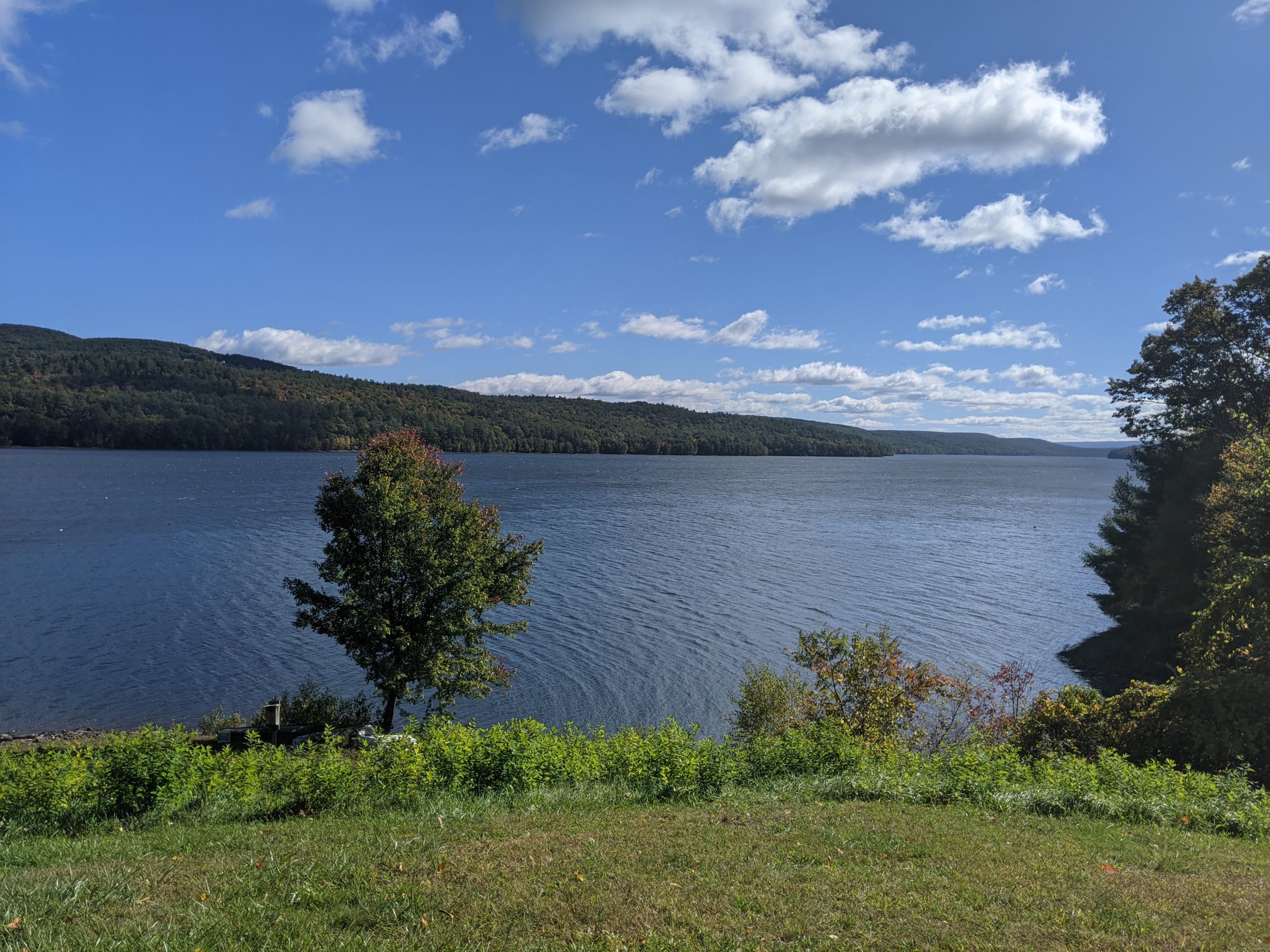
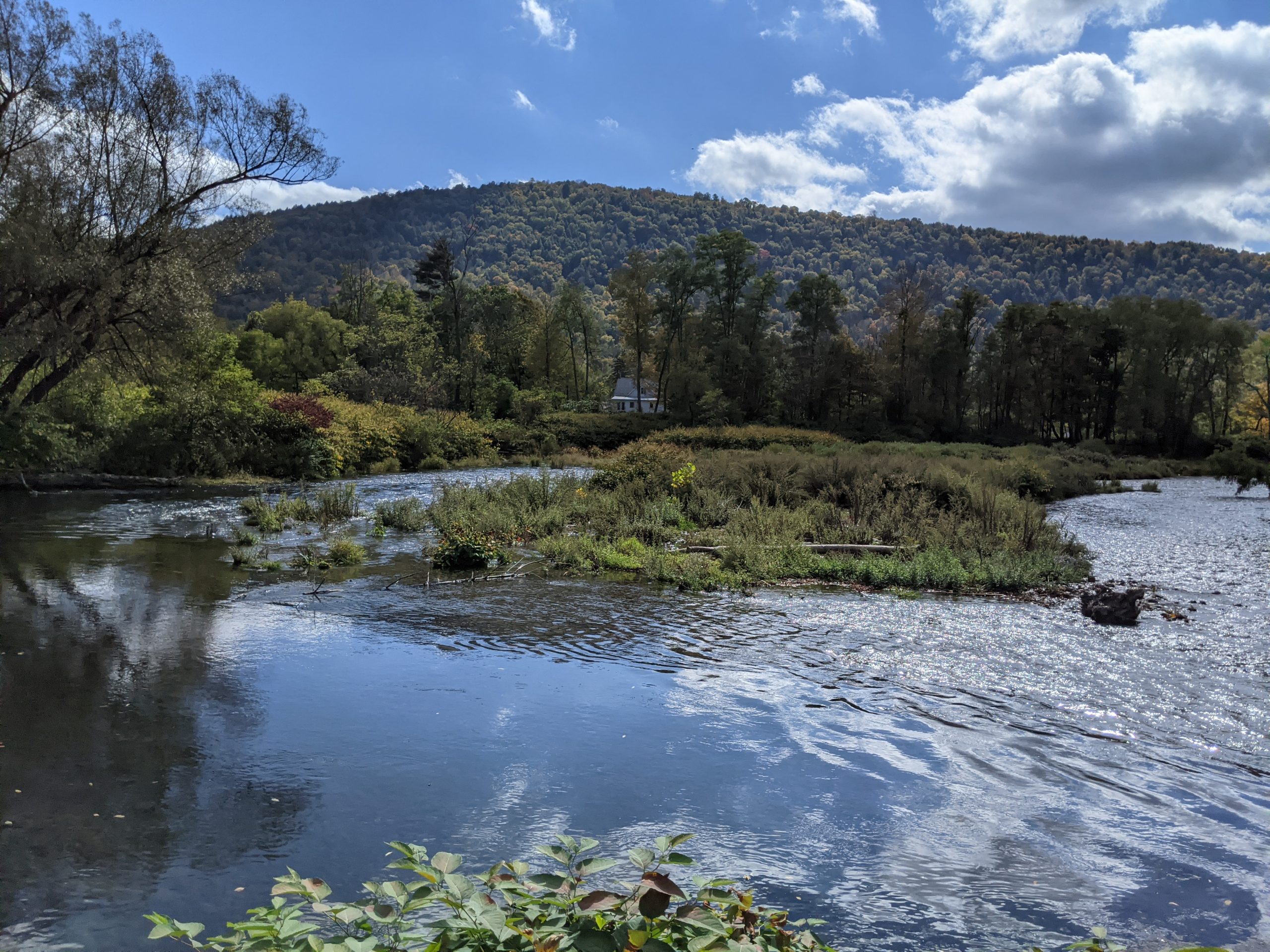
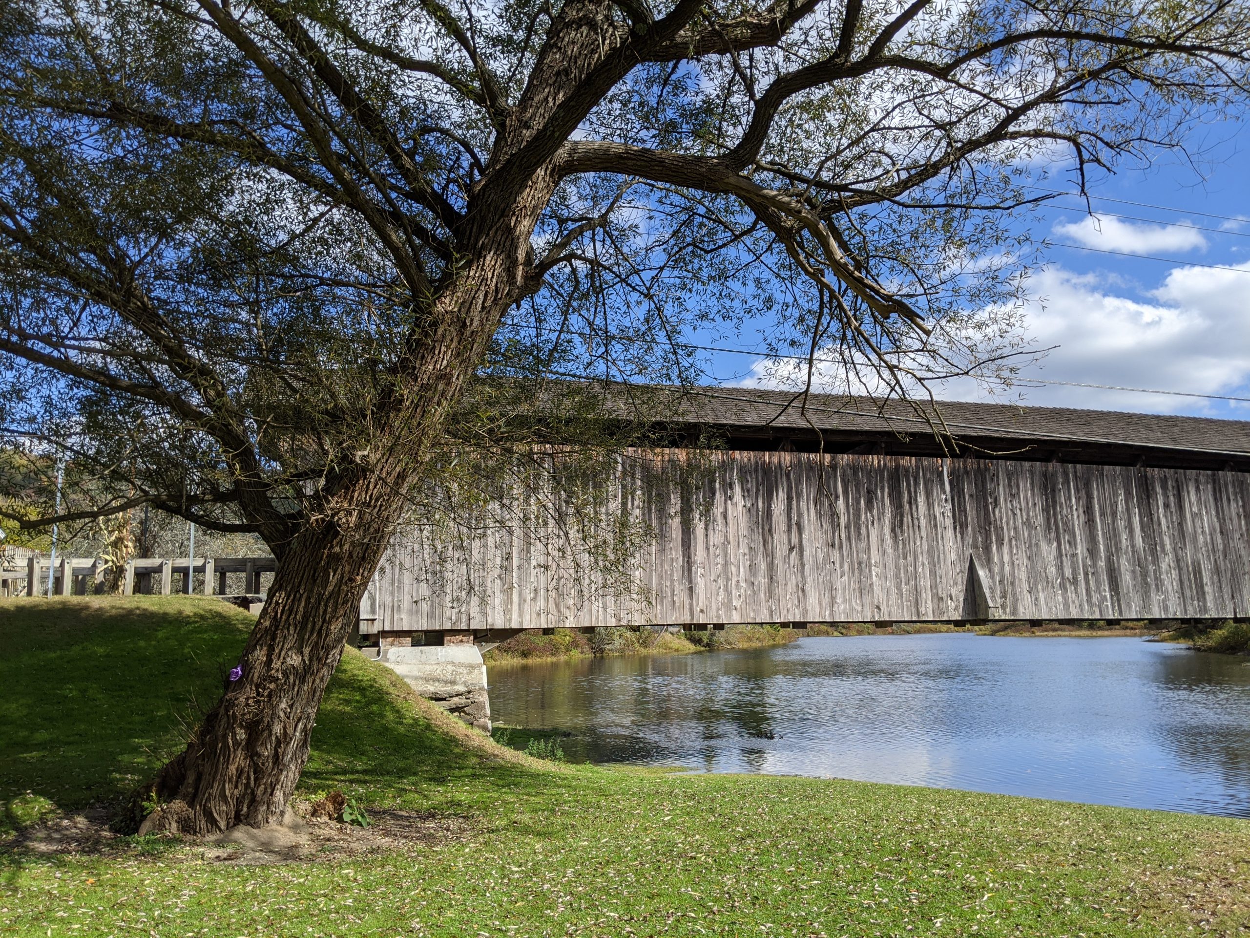
Route 55 from Grahamsville heads out along the southern shore of the Rondout Reservoir. Route 55A is a loop around the other side of the same reservoir, and may be included in a future short trip.
Leaving the reservoir area and crossing into Ulster County, we headed through to the village of Napanoch, where we headed onto US Route 209.
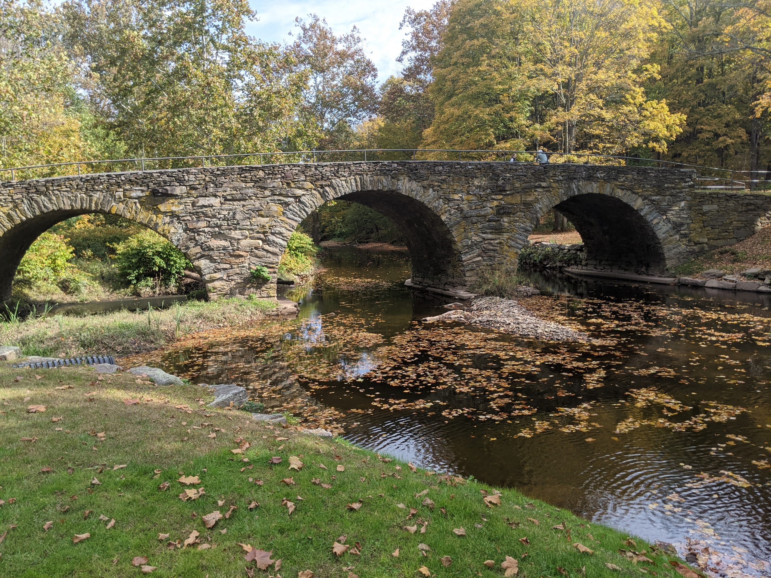
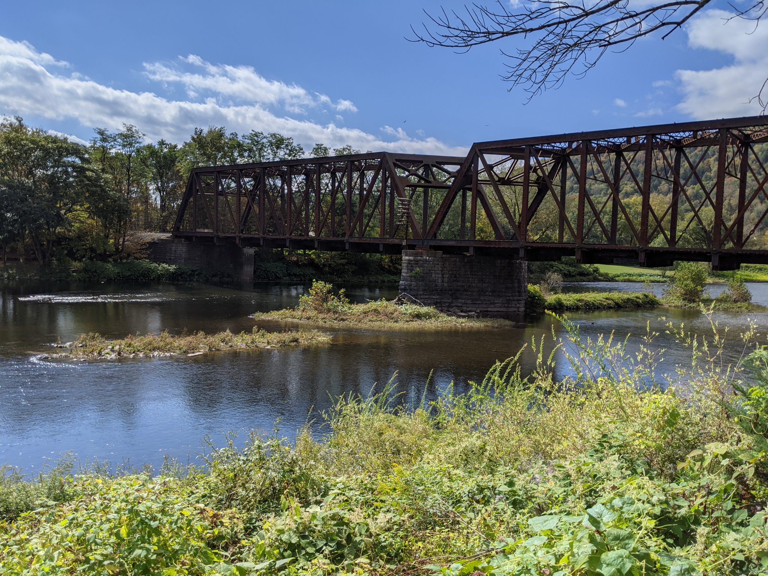
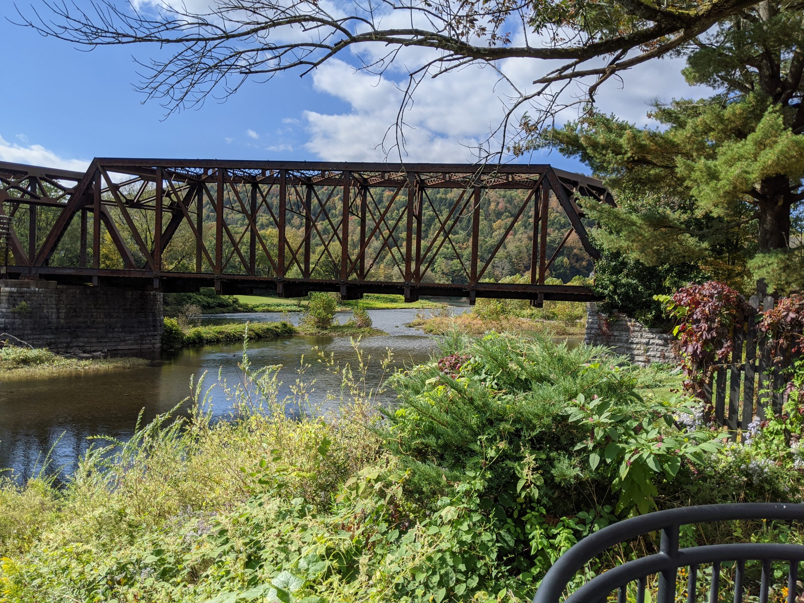
From Port Jervis to Kingston, Route 209 runs along the former route of the D&H Canal, which was built in the 19th century, linking the Delaware River at Port Jervis with the Hudson River at Kingston and allowing coal from Pennsylvania to reach New York City. Ultimately, the railroads caused it to be abandoned by the beginning of the 21st century. Various parts of the canal exist as parks and other scenic/historical sightseeing opportunities.
The journey on Route 209 took us through Ellenville, which is part of the Shawangunk Mountains Scenic Byway, which includes the next stretch of Route 209.
The road crosses back and forth between Sullivan and Ulster County. At Wurtsboro, it intersects with Route 17(Future I-86), and passes Wurtsboro Airport, believed to be the oldest operating glider airport in the country.
We continued through to Port Jervis, circling the city and passing the restored 1892 Erie Railroad Depot. We did not pass the Tri-States Monument, which marks the intersection nearby of New Jersey, New York, and Pennsylvania.
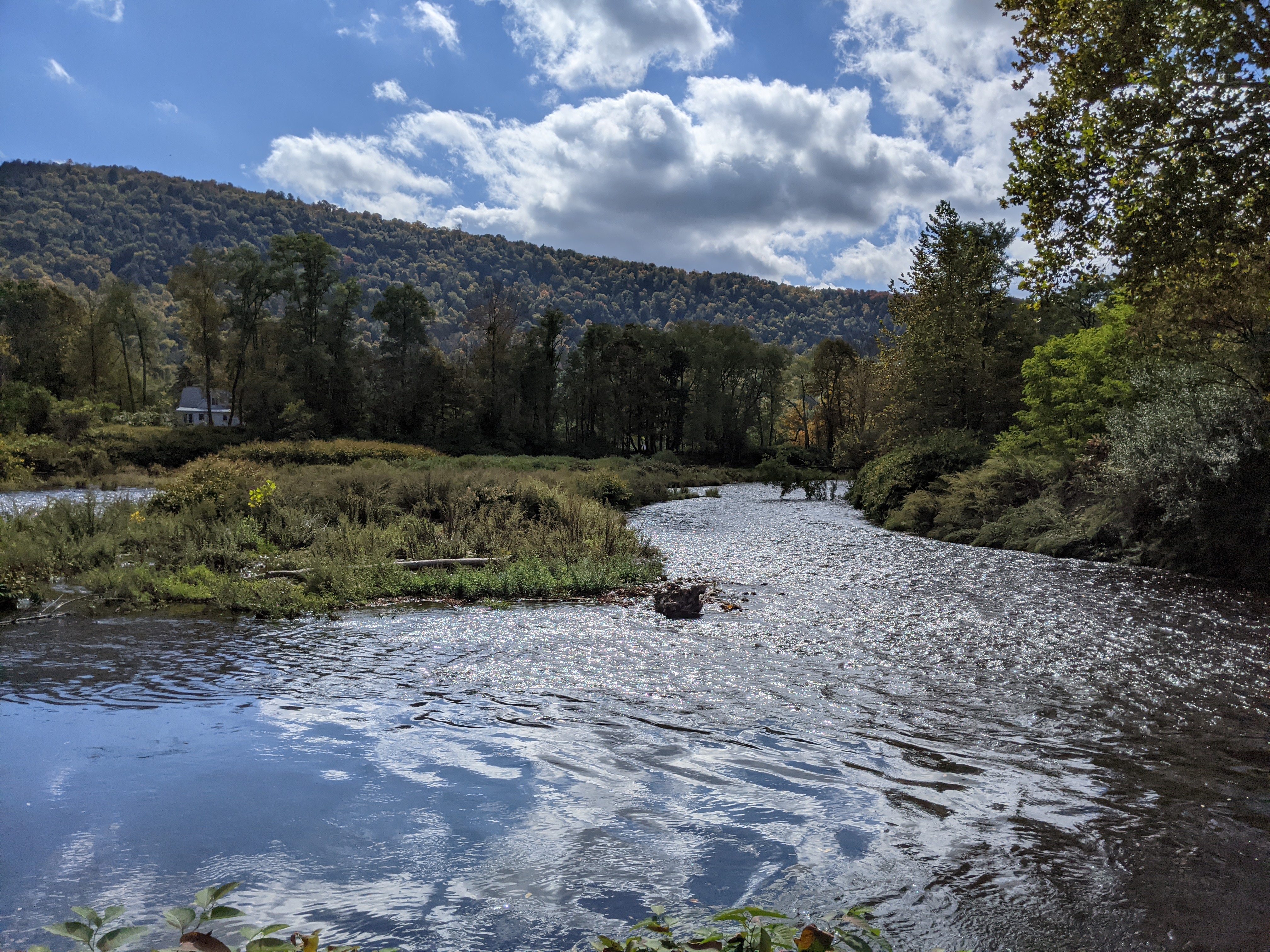
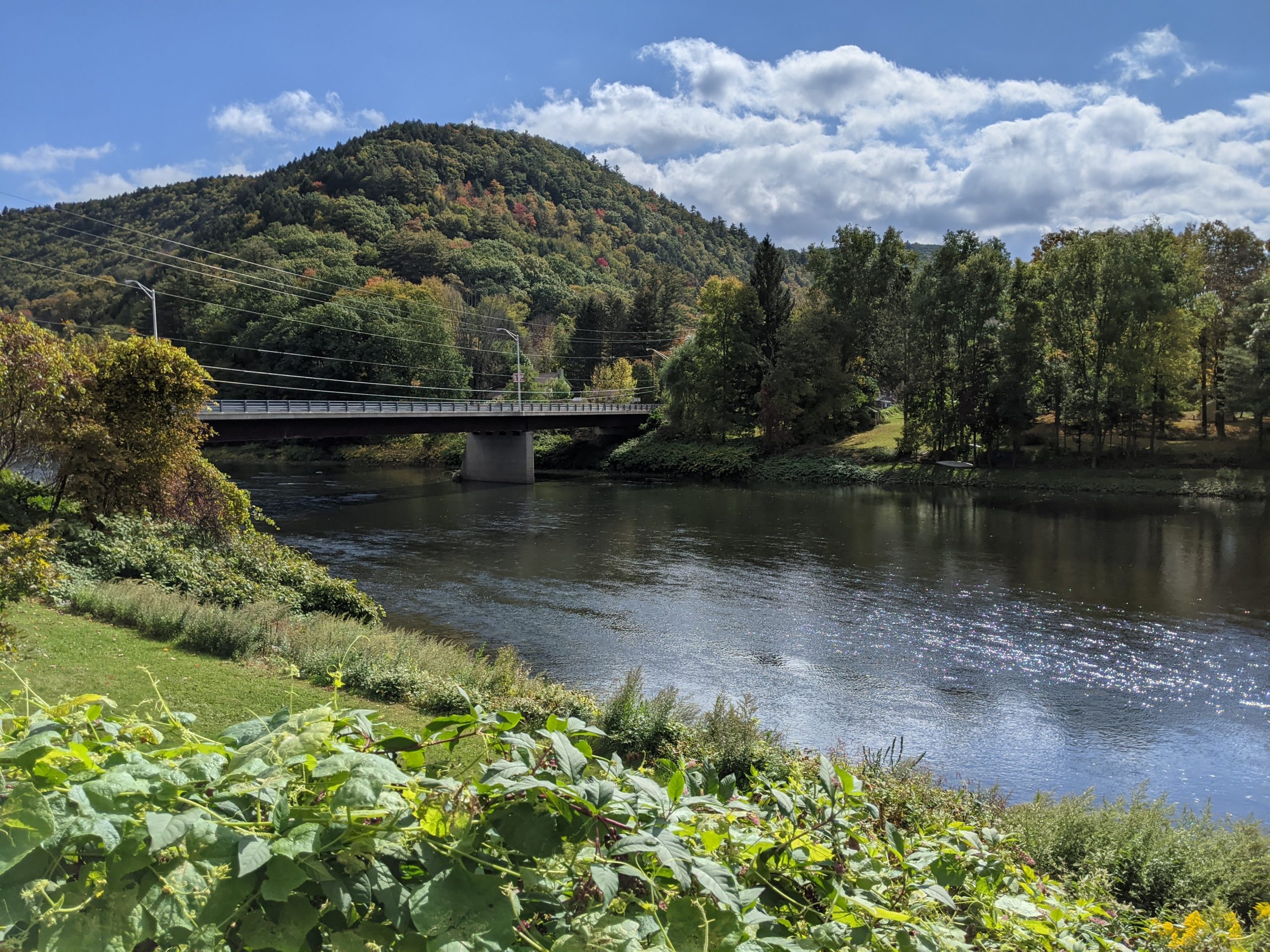
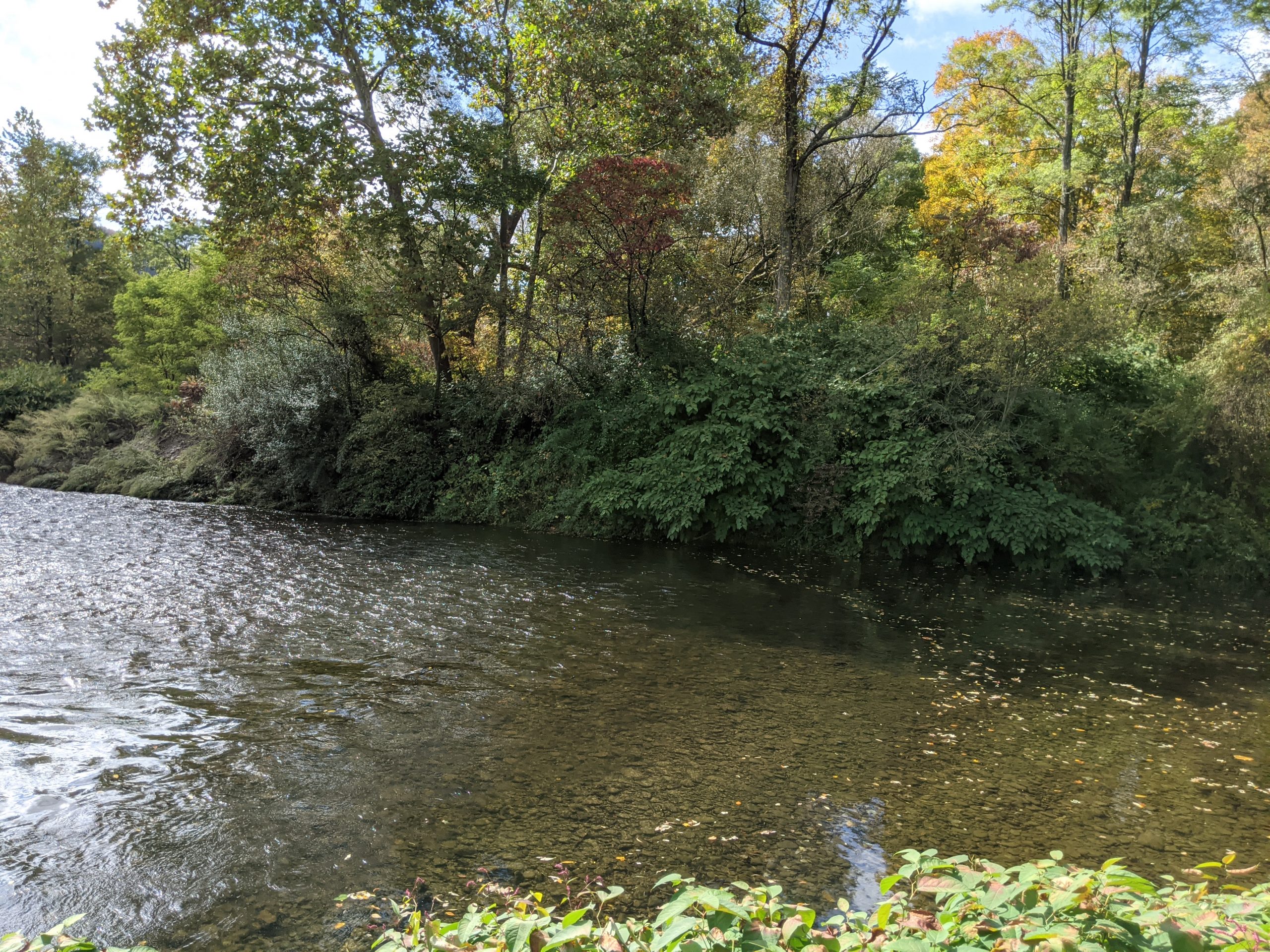
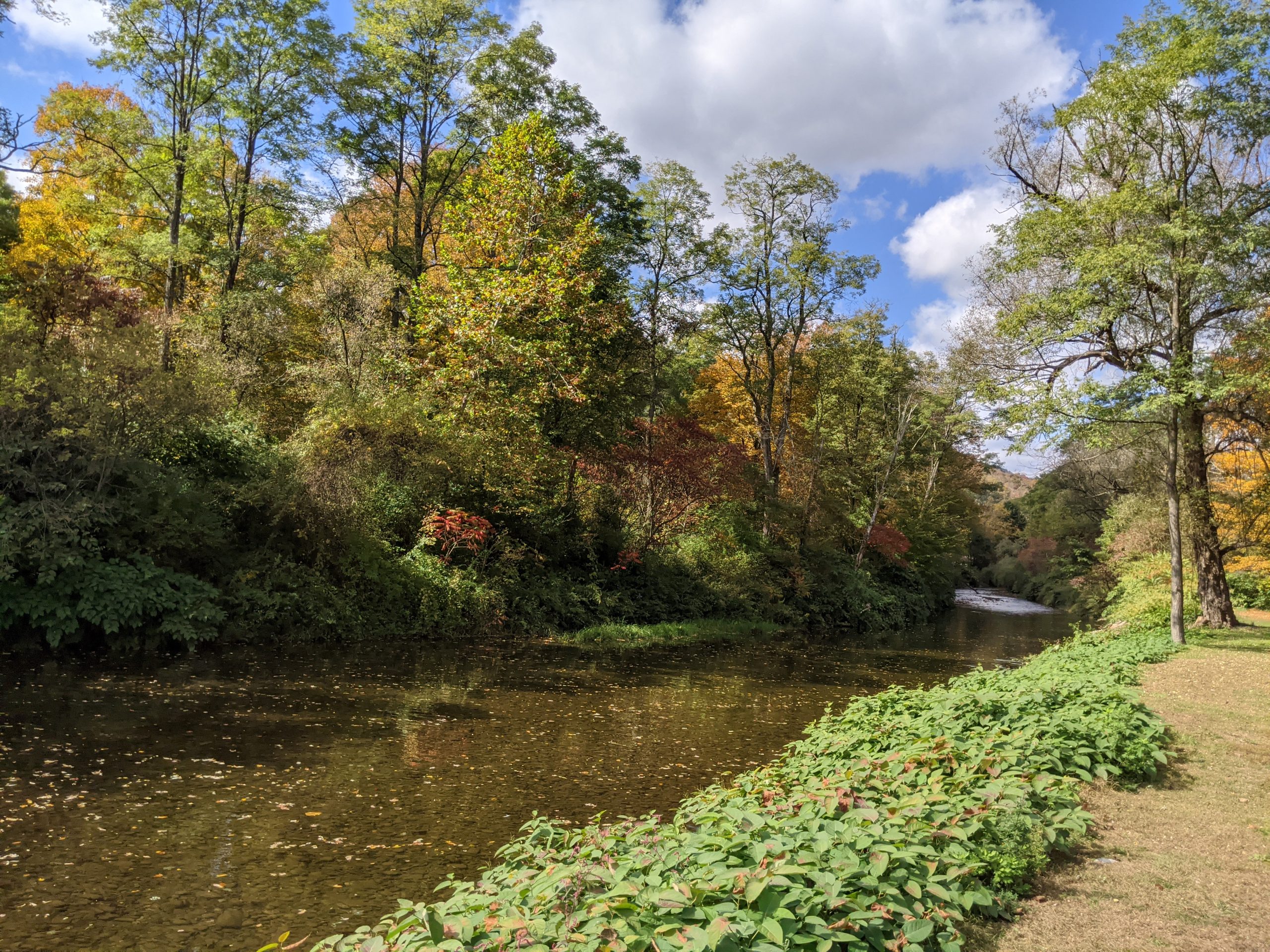
From Port Jervis, Route 97, which we took part of earlier in the week, begins and follows the path of the Delaware River, at many points a winding cliffside route that includes a beautiful view of the river. Taking this all the way to Barryville along the river, we meet up again with the start of Route 55, returning to origin.