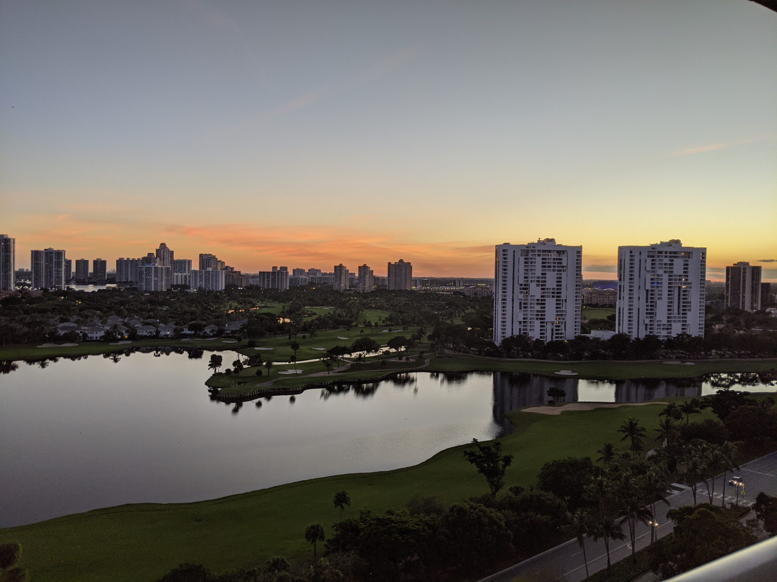
The Tamiami Trail

Taking some time off that needed to be used before the end of the year, and today, took a trip on the Tamiami Trail. This is part of my continued effort to get out, but yet avoid close contact with groups of people.

The Tamiami trail runs from Tampa to Miami, thus the name. We drove from Miami to Naples, Florida.  The Trail opened in 1928, but since 1968 when Alligator Alley(now I-75 from Naples to Miami) opened, it has been more sparsely used.

Along the early part of the route is the Dade-Collier Training Airport, whcih was meant to be a large Miami airport, but was halted after only one runway was built. The airport’s callsign is amusingly TNT. 2.6 million sticks of dynamite were used to build the Tamiami trail.

The Trail forms the northern border of Everglades National Park, which is the third-largest park in the United States. The trail is the dividing line between the Everglades National Park and the Big Cypress National Preserve. The Preserve is a cypress swamp, compared to the Everglades which is a submerged prairie.

Our first stop was the Oasis Visitor Center, which is a former airport hanger/restaurant, which adjourns the Oasis Ranger Station airport. While we didn’t go inside, we were able to, shown by a dedicated park ranger, see some alligators.

We also made a brief photo stop at the Ochopee Post Office, which was a former storage shed that serves a region of 130 miles.

From there, we headed to the Big Cypress Bend Boardwalk. This takes you into yet another park, the Fakahatchee Strand State Park. We walked a bit of the boardwalk, which goes about a half mile into the park. If you weren’t looking for it, you wouldn’t find the boardwalk. We parked at a closed building, and walked a dirt trail off the highway until we found the boardwalk, which continued for another half mile.

After that, the road passed through the Picayune Strand State Forest, and the Ten Thousand Islands National Wildlife Refuge. The Ten Thousand Islands are a chain of hundreds(not thousands) of islands that are mostly uninhabited.

The road also passes along the Miccosukee reservation and multiple villages.

Our final destination was Naples, Florida. there, we got a look at the Gulf Of Mexico at Lowdermilk Park, one of the many beach parks in the area, before turning back and returning on Alligator Alley, aka I-75, which is the faster, if less scenic route.


Simple Location 4.2.0 Released

Simple Location version 4.2.0 has been released. In edition to several under the hood improvements, such as standardizing units of measurement for the various weather providers and adding new optional parameters, it introduces the option of a custom and a fallback weather provider. The custom provider allows you to specify custom stations at designated URLs. The stations should return a json object with latitude and longitude as well as any provided weather properties as identified in the system. I’d love it if people implemented this simple json file and allowed others to pull weather data from them.

I built this feature for myself. Using my own weather data when possible has been a desire of mine. Now, my website is set to compare my location to that of the custom stations I’ve designated, in this case two under my control. If I am close, it will use that data. If not, it will go to the fallback provider. The same fallback can be set for regional providers, like the US National Weather service and the Met Office, in case you wander into untracked territory.

The functionality also works for the weather in my sidebar, where you’ll see additional parameters such as the readings from my particulate sensors and any sensors I add in the future.

Simple Location for WordPress 4.1.12 Released

A new version of Simple Location is out. Version 4.1.12 has many under the hood tweaks/fixes, and only one major user facing feature, a redo of the caching system. The caching system is used by the weather system to avoid poling for the weather on every refresh. There is now a setting in each widget to set the cache frequency. I recommend at least 300 seconds(5 minutes). The weather won’t change that much, and if you are using an API key, this will reduce, assuming your site gets 1 visit per second, requests from 86400 to only 288 times a time.

I did try to implement trip support in this version, but due to issues, I have pushed that off to rethink.

Replied to On customer service (and how SCE is dreadful at it) by Chris AldrichChris Aldrich (boffosocko.com)

Just the same way that VC-backed rideshare companies like Uber and Lyft offload corporate cost centers and burdens onto their employees (which they’d otherwise like to call independent contractors), most customer service phone trees are meant to save time for their paid employees while offloading …

I can’t speak for every company, but as someone who has worked in a Call Center, the purpose of phone trees is not to offload the burden onto the caller. It is to route the caller to the right people. Everyone who answers the phone at an organization isn’t identically skilled. If you press 0, as so many people do, you could end up going to someone who isn’t qualified to do what you want, which means a poor experience or being transferred again. So, phone trees have callers do the work of telling the company what you want. Now, from your description, it sounds like their setup could use some improvement. I’ve been involved in the past in discussions to change the one at my employer based on the data we have on usage as well as feedback from the employees on how people are confusing the options.
Just released another minor bugfix for Post Kinds. This is the 7th in the last few weeks. The recent update, version 3.4, created a few issues, but also revealed some that were already there as I started actually checking more of the data I’ve been storing for a rainy day.

For example, I’m no longer doing backward compatibility retrieval on posts using the older storage formats, which, looking at older posts, means that some things are not displaying. I have been restoring the information to the posts by manually reparsing it, but I may have to release a version to do so automatically, as no one wants to go through old posts.

Fortunately, I don’t have that many, but I do need to make sure those who posted more aren’t subject to the same problem.

Fall Foliage Part 2

On Thursday, continued with the drive, taking another wide loop through Sullivan, Orange, and Ulster counties, completing a circuit of the Delaware Aqueduct reservoirs.

We took off through the village of Liberty, routing on Route 52 and Route 42 via Loch Sheldrake to Grahamsville, NY.

Loch Sheldrake was the site of Brown’s Hotel, which I stayed at as a kid. The resort hotels of the Catskills are a topic I could cover in a lot more detail, as it is a unique but also sad story. The Brown’s closed in the late 80s. It was converted into condos in the late 90s, and burned down in 2012.

The southern segment of Route 42 terminates at Route 55 near the Rondout Reservois, however, it used to continue north past this point. There is a portion of Route 42 further north that is no longer connected to the main southern segment.

Grahamsville NY is the site of the Little World’s Fair, the longest running independent fair in the state of New York, having been held since 1878. In 2020, due to the pandemic, the fair was cancelled for the first time since 1928, when the bridge to the fairgrounds was washed out.

Route 55 from Grahamsville heads out along the southern shore of the Rondout Reservoir. Route 55A is a loop around the other side of the same reservoir, and may be included in a future short trip.

Leaving the reservoir area and crossing into Ulster County, we headed through to the village of Napanoch, where we headed onto US Route 209.

From Port Jervis to Kingston, Route 209 runs along the former route of the D&H Canal, which was built in the 19th century, linking the Delaware River at Port Jervis with the Hudson River at Kingston and allowing coal from Pennsylvania to reach New York City. Ultimately, the railroads caused it to be abandoned by the beginning of the 21st century. Various parts of the canal exist as parks and other scenic/historical sightseeing opportunities.

The journey on Route 209 took us through Ellenville, which is part of the Shawangunk Mountains Scenic Byway, which includes the next stretch of Route 209.

The road crosses back and forth between Sullivan and Ulster County.  At Wurtsboro, it intersects with Route 17(Future I-86), and passes Wurtsboro Airport, believed to be the oldest operating glider airport in the country.

We continued through to Port Jervis, circling the city and passing the restored 1892 Erie Railroad Depot. We did not pass the Tri-States Monument, which marks the intersection nearby of New Jersey, New York, and Pennsylvania.

From Port Jervis, Route 97, which we took part of earlier in the week, begins and follows the path of the Delaware River, at many points a winding cliffside route that includes a beautiful view of the river.  Taking this all the way to Barryville along the river, we meet up again with the start of Route 55, returning to origin.